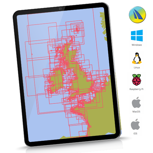
UK and Near Continent - Cross Platform Charts for qtVlm
UK and Near Continent. This 2026 edition contains over 1100 charts. Coverage: UK/Ireland/Channel and Atlantic France/ Belgium and Netherlands coasts. 100% at all scales available. French coverage at all available scales using beautiful SHOM French raster charts.
![]()
Instant Download, cross platform. See hi-res samples, explore coverage. Click here
For the avoidance of doubt: Our Netherlands coverage in this and any other product is shown below:
![]()
No freshwater inland coverage. Fine for coastal passage making.
“qtVlm is a navigation software designed for sailing boats. It is also a free weather grib viewer that accepts all kinds of gribs. It can read and display maps in various formats, including these fully licensed and encrypted raster chartsets”
qtVlm navigation software from: www.meltemus.com
In all cases get, install, familiarise yourself and evaluate qtVlm before buying these charts. How it works:
- Buy the chart coverage you want from the 3 selections available
- Shopping cart will automatically email you the download link and 2 Unlock codes (1 working, 1 backup)
- Install and activate your chart set on your chosen platform. See how: Click HERE