UK and Ireland 2025 - Cross Platform Charts for qtVlm
UK and Ireland
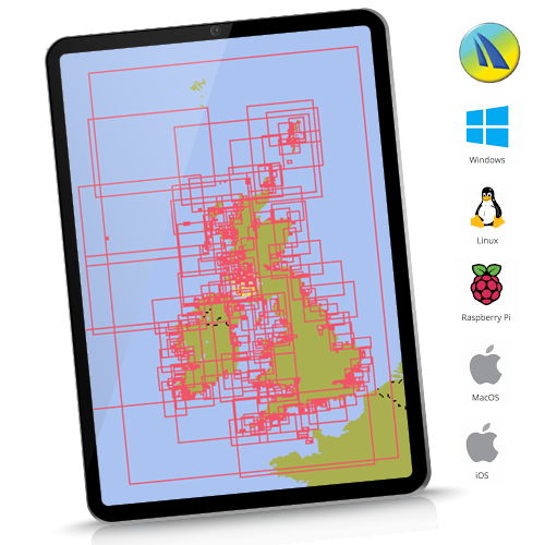
UK/Ireland edition contains over 826 raster charts, dated 1st Jan 2025.
Important note: Although the French coasts are visible, there is not enough detail to approach these coasts safely. If visiting France you WILL need UK and Near Continent.
“qtVlm is a navigation software designed for sailing boats. It is also a free weather grib viewer that accepts all kinds of gribs. It can read and display maps in various formats, including these fully licensed and encrypted raster chartsets”
qtVlm navigation software from: www.meltemus.com
In all cases get, install, familiarise yourself and evaluate qtVlm before buying these charts. How it works:
- Buy the chart coverage you want from the 3 selections available
- Shopping cart will automatically email you the download link and 2 Unlock codes (1 working, 1 backup)
- Install and activate your chartset on your chosen platform. See how: Click HERE