Charts for Marine Navigator UK-NC
Stock code: UK-NC
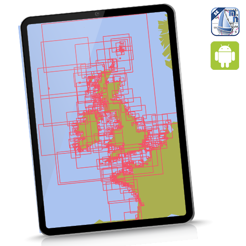
UK and Near Continent. This 2026 edition contains over 1100 charts. Coverage: UK/Ireland/Channel and Atlantic France/ Belgium and Netherlands coasts. 100% at all scales available. French coverage at all available scales using beautiful SHOM French raster charts.
![]()
Instant Download for Android devices (needs Marine Navigator app). See hi-res samples, explore coverage. Click here
For the avoidance of doubt: Our Netherlands coverage in this and any other product is shown below:
![]()
No freshwater inland coverage. Fine for coastal passage making.
Checklist before buying charts:
- Marine Navigator app purchased and installed on device
- Read and understand the EULA
- Read and understand the simple installation and activation process
- Space required: You need double the size of the download as work space..eg the UK-IRL chartset needs 2 GB clear space for installation before download ( you can delete the download after they are installed clearing up 1 GB.)